Typhoon2000 STORM UPDATE #05
Name: TROPICAL STORM EWINIAR [04W/0603]
Issued: 7:00 AM MANILA TIME (23:00 GMT) SUN 02 JULY 2006
Next Update: 7:00 PM (11:00 GMT) SUN 02 JULY 2006
Source: JTWC TROPICAL CYCLONE WARNING #009
_______________________________________________________________________
Next Update: 7:00 PM (11:00 GMT) SUN 02 JULY 2006
Source: JTWC TROPICAL CYCLONE WARNING #009
_______________________________________________________________________
TROPICAL STORM EWINIAR (04W)
CONTINUES TO INTENSIFY AS IT PULLSAWAY FROM YAP ISLAND STATE...STRONG WINDS AND RAINS STILL AFFEC-
THE AREA.
+ FORECAST OUTLOOK: EWINIAR is expected to resume tracking NW'ly
across the Philippine Sea. Forecast to become a 120-km/hr Typhoon
upon entering the Philippine Area of Responsibility (PAR) this
afternoon. Three to Five-Day Advance Forecast (July 5-7) still
shows the system turning more to the North in the direction of
Okinawa-Southern Japan area with projected winds of 215 km/hr.
+ EFFECTS: EWINIAR's main circulation continues to spread across
the tiny Yap Island State. The storm's circulation (which in-
cludes: Core/CDO, inner & outer bands) is expected to bring mo-
derate to heavy rains with gale-force winds that could produce
flying debris, life-threatening flash floods and mudslides along
river banks, low-lying areas and mountain slopes over the
affected areas.
+ CURRENT MONSOON INTENSITY: This storm is expected to enhance & suck
the Southwest (SW) Monsoon across the Philippines especially the
western sections beginning next week (July 04-08). This monsoon system
will bring cloudy skies with winds of 30 to 60 km/hr, accompanied with
light, moderate to heavy rains. These rains may produce life-threate-
ning flash floods and mudslides along river banks, low-lying areas
and mountain slopes of the affected areas.
effects & current monsoon intensity changes every 06 to 12 hours!
_______________________________________________________________________
TIME/DATE: 5:00 AM MANILA TIME (21:00 GMT) 02 JULY
LOCATION OF CENTER: LATITUDE 11.0º N...LONGITUDE 135.7º E
DISTANCE 1: 310 KM (167 NM) WNW OF COLONIA, YAP, FSM
TIME/DATE: 5:00 AM MANILA TIME (21:00 GMT) 02 JULY
LOCATION OF CENTER: LATITUDE 11.0º N...LONGITUDE 135.7º E
DISTANCE 1: 310 KM (167 NM) WNW OF COLONIA, YAP, FSM
DISTANCE 2: 430 KM (230 NM) NNE OF KOROR, PALAU, FSM
DISTANCE 3: 1,270 KM (685 NM) ESE OF VIRAC, CATANDUANES, PH
MAX SUSTAINED WINDS [1-MIN AVG]: 100 KM/HR (55 KTS)
PEAK WIND GUSTS: 130 KM/HR (70 KTS)
MINIMUM CENTRAL PRESSURE (est.): 984 MILLIBARS (hPa)
MAX WAVE HEIGHT**: 21 FEET (6.4 METERS)
SAFFIR-SIMPSON SCALE: N/A
RECENT MOVEMENT: NNW @ 15 KM/HR (08 KTS)
GENERAL DIRECTION: PHILIPPINE SEA
STORM'S SIZE (IN DIAMETER): 520 KM (280 NM)/AVERAGE
VIEW T2K TRACKING MAP: 5 AM SUN JULY 02
TSR WIND PROBABILITIES: CURRENT TO 120 HRS LEAD
PHILIPPINE STORM SIGNALS*: N/A
09-21 HR. FORECAST:
> 2 PM (06 GMT) 02 JULY: 11.9N 135.0E / 120-150 KPH [Typhoon]
> 2 AM (18 GMT) 03 JULY: 13.0N 133.9E / 140-165 KPH [Inside PAR]
REMARKS: 2 AM (18 GMT) 02 JULY POSITION: 10.7N 136.0E.
^ TS EWINIAR WILL CONTINUE TO TRACK TO THE NORTH-NORTHWEST
DUE TO MID-LEVEL HIGH PRESSURE RIDGING TO SOUTHEAST AND THE
SUBTROPICAL RIDGE (STR) TO THE NORTH. THIS WILL CONTINUE
THROUGH 36 HRS UNTIL THE STR BECOMES THE PRIMARY STEERING
INFLUENCE. A DEVELOPING MID-LATITUDE TROUGH WILL WEAKEN
THE STR BETWEEN 48 AND 72 HRS CAUSING TS EWINIAR TO BEGIN
A MORE NORTHERLY TRACK AROUND STR...(more info)
>> EWINIAR {pronounced: ee~win~yar}, meaning: Chuuk
traditional storm God. Name contributed by: Micronesia.
_______________________________________________________________________
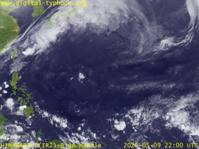
RECENT MTSAT-1R SATELLITE IMAGE:

> Image source: Digital-Typhoon.org (Nat'l. Institute of Informatics) (http://www.digital-typhoon.org)
__________________________________________________________________________________________
LATEST T2K TRACKING CHART:

_______________________________________________________________________________________
NOTES:

> Image source: Digital-Typhoon.org (Nat'l. Institute of Informatics) (http://www.digital-typhoon.org)
__________________________________________________________________________________________
LATEST T2K TRACKING CHART:

_______________________________________________________________________________________
NOTES:
^ - JTWC commentary remarks (for Meteorologists) from their latest warning.
* - Based on PAGASA's Philippine Storm Warning Signals, # 4 being the
highest. Red letters indicate new areas being hoisted. For more
explanations on these signals, visit: http://www.typhoon2000.ph/signals.htm
** - Based on the Tropical Cyclone's Sea Wave Height near its center.
__________________________________________________________________________________________
>> To know the meteorological terminologies and acronyms used on
this update visit the ff:
http://typhoon2000.ph/tcterm.htm
http://www.nhc.noaa.gov/aboutgloss.shtml
http://www.srhnoaa.gov/oun/severewx/glossary.php
http://www.srh.weather.gov/fwd/glossarynation.html
http://www.nhc.noaa.gov/acronyms.shtml
__________________________________________________________________________________________
T2K Mobile: receive the latest storm updates directly to your mobile phones! To know more,
Send T2K HELP to: 2800 (GLOBE & TM) | OFFLINE (SMART & TNT) | 2288 (SUN)
Powered by: Synermaxx
__________________________________________________________________________________________
For the complete details on the TS EWINIAR (04W)...go visit our website @:
> http://www.typhoon2000.com
> http://www.maybagyo.com
:: Kindly view our site's disclaimer at: http://www.typhoon2000.ph/disclaimer.htm
Visit Your Group | Yahoo! Groups Terms of Use | Unsubscribe
New Message Search
Find the message you want faster. Visit your group to try out the improved message search.
SPONSORED LINKS
.
__,_._,___
No comments:
Post a Comment