Typhoon2000 STORM UPDATE #01
Name: TROPICAL DEPRESSION 06W [UNNAMED]
Issued: 7:00 PM MANILA TIME (11:00 GMT) TUE 18 JULY 2006
Next Update: 7:00 AM (23:00 GMT) WED 19 JULY 2006
Source: JTWC TROPICAL CYCLONE WARNING #002
_______________________________________________________________________
Next Update: 7:00 AM (23:00 GMT) WED 19 JULY 2006
Source: JTWC TROPICAL CYCLONE WARNING #002
_______________________________________________________________________
NEWLY-FORMED TROPICAL DEPRESSION 06W (UNNAMED) PASSING
HUNDREDS OF MILES TO THE SOUTH OF GUAM...NORTHERN OUTER
SPIRAL BANDS NOW SPREADING INTO SAIPAN AND THE NORTHERN
MARIANA ISLANDS.
HUNDREDS OF MILES TO THE SOUTH OF GUAM...NORTHERN OUTER
SPIRAL BANDS NOW SPREADING INTO SAIPAN AND THE NORTHERN
MARIANA ISLANDS.
+ FORECAST OUTLOOK: 06W is expected to continue tracking
WNW to NW'ly past the Southernmost Mariana Islands and
shall become a Tropical Storm tomorrow Wednesday after-
noon, July 19. The 2 to 3-day Long-Range Forecast shows
the storm entering the Eastern Boundary of the Philippine
Area of Responsibility (PAR) Thursday night, July 20th
(as a 85-km/hr storm).
+ EFFECTS: The northern outer bands of 06W continues to
affect the Southern Marianas including Guam and is now
spreading into Saipan and the Northern Marianas. These
islands can expect moderate to heavy rains with passing
gale-force winds which is usually associated with pa-
ssing squalls within the outer bands. Moderate to rough
seas with dangerous surf can be expected over the above-
mentioned islands throughout tonight until tomorrow.
+ CURRENT MONSOON INTENSITY: N/A.
outlook, effects, current monsoon intensity, and tropical
cyclone watch changes every 06 to 12 hours!
_______________________________________________________________________
TIME/DATE: 5:00 PM MANILA TIME (09:00 GMT) 18 JULY
LOCATION OF CENTER: LATITUDE 9.7º N...LONGITUDE 145.2º E {SatFix}
DISTANCE 1: 415 KM (225 NM) SOUTH OF HAGATNA, GUAM, CNMI
DISTANCE 2: 780 KM (420 NM) ENE OF COLONIA, YAP, FSM
DISTANCE 3: 1,120 KM (605 NM) EAST OF P.A.R.
MAX SUSTAINED WINDS [1-MIN AVG]: 55 KM/HR (30 KTS)
PEAK WIND GUSTS: 75 KM/HR (40 KTS)
MINIMUM CENTRAL PRESSURE (est.): 1000 MILLIBARS (hPa)
MAX WAVE HEIGHT**: 08 FEET (2.4 METERS)
SAFFIR-SIMPSON SCALE: N/A
RECENT MOVEMENT: WNW @ 17 KM/HR (09 KTS)
GENERAL DIRECTION: SOUTHERNMOST MARIANA ISLANDS
STORM'S SIZE (IN DIAMETER): 665 KM (360 NM)/AVG/LARGE
VIEW T2K TRACKING MAP: 5 PM TUE JULY 18
TSR WIND PROBABILITIES: CURRENT TO 72 HRS LEAD
PHILIPPINE STORM SIGNALS*: N/A
09-21 HR. FORECAST:
> 2 AM (18 GMT) 19 JULY: 10.8N 144.0E / 55-75 KPH
> 2 PM (06 GMT) 19 JULY: 12.0N 141.9E / 65-85 KPH
REMARKS: 2 PM (06 GMT) 18 JULY POSITION: 9.8N 145.9E.
^TD 06W IS FORECAST TO INTENSIFY AT A LESS THAN CLIMA-
TOLOGICAL RATE OVER THE NEXT 72 HOURS. A CYCLONIC CIR-
CULATION EMBEDDED WITHIN THE TROPICAL UPPER TROPOSPHERIC
TROUGH (TUTT) TO THE NORTHWEST OF TD 06W IS FORECAST TO
INHIBIT UPPER LEVEL OUTFLOW AND LIMIT THE DEVELOPMENT
OF DEEP CONVECTION THROUGH TAU 24. AFTERWARD, INCREA-
SING VERTICAL WIND SHEAR WILL HAMPER STORM INTENSIFI-
CATION...(more info)
_________________________________________________________________________________
_________________________________________________________________________________
LATEST T2K TRACKING CHART:

_______________________________________________________________________________________
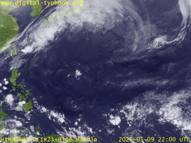
RECENT MTSAT-1R SATELLITE IMAGE:

> Image source: Digital-Typhoon.org (Nat'l. Institute of Informatics, Japan) (http://www.digital-typhoon.org)
__________________________________________________________________________________________
NOTES:
^ - JTWC commentary remarks (for Meteorologists) from their
latest warning.
latest warning.
* - Based on PAGASA's Philippine Storm Warning Signals,
# 4 being the highest. Red letters indicate new areas
being hoisted. For more explanations on these signals,
visit: http://www.typhoon2000.ph/signals.htm
** - Based on the Tropical Cyclone's Sea Wave Height near
its center.
__________________________________________________________________________________________
>> To know the meteorological terminologies and acronyms
used on this update visit the ff:
http://typhoon2000.ph/tcterm.htm
http://www.nhc.noaa.gov/aboutgloss.shtml
http://www.srhnoaa.gov/oun/severewx/glossary.php
http://www.srh.weather.gov/fwd/glossarynation.html
http://www.nhc.noaa.gov/acronyms.shtml
__________________________________________________________________________________________
:: Typhoon2000.com (T2K) Mobile >> Powered by: Synermaxx
Receive the latest storm updates directly to your mobile phones! To know more:
Send T2K HELP to: 2800 (GLOBE & TM) | 216 (SMART & TNT) | 2288 (SUN)
__________________________________________________________________________________________
For the complete details on the TD 06W (UNNAMED)...go visit
our website @:
> http://www.typhoon2000.com
> http://www.maybagyo.com
Visit Your Group | Yahoo! Groups Terms of Use | Unsubscribe
New Message Search
Find the message you want faster. Visit your group to try out the improved message search.
SPONSORED LINKS
.
__,_._,___
No comments:
Post a Comment