Typhoon2000 STORM UPDATE #014 **FINAL**
Name: TYPHOON SOULIK [21W/0618]
Issued: 7:00 AM MANILA TIME (23:00 GMT) MON 16 OCTOBER 2006
Source: JTWC TROPICAL CYCLONE WARNING #028 (FINAL)
_______________________________________________________________________
Source: JTWC TROPICAL CYCLONE WARNING #028 (FINAL)
____________
SOULIK (21W) WEAKENS INTO A TROPICAL STORM...TO BECOME
EXTRATROPICAL IN 12 HOURS.
...THIS IS THE FINAL UPDATE ON THIS SYSTEM.
+ FORECAST OUTLOOK: SOULIK is expected to become EXTRATROPICAL IN 12 HOURS.
...THIS IS THE FINAL UPDATE ON THIS SYSTEM.
Extratropical Cyclone later today.
+ EFFECTS: N/A.
+ TROPICAL CYCLONE WATCH: The two Tropical Disturbances
(LPAs) has been disorganized to the NW of Guam and over
Micronesia (in the vicinity of Chuuk) over the past 12
hours. The first disturbance (92W/1006 mb) was relocated
about 1,930 km ENE of Bicol Region (15.5N 142.0E)...while
the second disturbance (93W/1006 mb) was located about
1,060 km SE of Guam (7.0N 152.0E)...both systems have wind
speeds of 30 km/hr. These disturbances will be monitored
closely for possible development into Tropical Cyclones
within the next 2 to 4 days.
outlook, effects & current monsoon intensity, and tropical
cyclone watch changes every 06 to 12 hours!
____________
TIME/DATE: 5:00 AM MANILA TIME (21:00 GMT) 16 OCTOBER
LOCATION OF CENTER: LATITUDE 33.1º N...LONGITUDE 148.3º E
DISTANCE 1: 1,145 KM (618 NM) NE OF IWO JIMA
DISTANCE 2: 840 KM (453 NM) ESE OF TOKYO, JAPAN
MAX SUSTAINED WINDS [1-MIN AVG]: 95 KM/HR (50 KTS)
PEAK WIND GUSTS: 120 KM/HR (65 KTS)
SAFFIR-SIMPSON SCALE: N/A
MINIMUM CENTRAL PRESSURE (est.): 987 MILLIBARS (hPa)
RECENT MOVEMENT: NE @ 50 KM/HR (27 KTS)
GENERAL DIRECTION: NORTH PACIFIC OCEAN
STORM'S SIZE (IN DIAMETER): 815 KM (440 NM)/LARGE
MAX WAVE HEIGHT**: 18 FEET (5.4 METERS)
VIEW TRACKING MAP: 3 AM JST MON OCTOBER 16
TSR WIND PROBABILITIES: CURRENT TO 12 HRS LEAD
PHILIPPINE STORM SIGNALS*: N/A
12 HR. FORECAST:
2 PM (06 GMT) 16 OCT: 35.4N 153.5E / 75 KPH [ET]
REMARKS: 2 AM (18 GMT) 16 OCTOBER POSITION: 32.3N 146.5E.
^TS SOULIK (21W) IS NOW SHOWING SIGNS OF ITS EXTRATROPICAL
NATURE INCLUDING LOSS OF CENTRAL CONVECTION AND ASYMMETRICAL
STRUCTURE. THIS IS THE FINAL WARNING ON THIS SYSTEM BY THE
JOINT TYPHOON WARNING CENTER (NAVPACMETOCCEN)
WILL BE CLOSELY MONITORED FOR THE SIGNS OF REGENERATION
..
>> SOULIK {pronounced: sow~lick}, meaning: Traditional Pohnpei
Chief's title. Name contributed by: Micronesia
____________
_______________________________________________________________________
RECENT WUNDERGROUND.
________________________
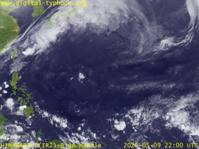
RECENT MTSAT-1R SATELLITE IMAGE:

> Image source: Digital-Typhoon.org (Nat'l. Institute of Informatics) (http://www.digital-typhoon.org )
__________________________________________________________________________________________
NOTES:

> Image source: Digital-Typhoon.
^ - JTWC commentary remarks (for Meteorologists) from their
latest warning.
latest warning.
* - Based on PAGASA's Philippine Storm Warning Signals,
# 4 being the highest. Red letters indicate new areas
being hoisted. For more explanations on these signals,
visit: http://www.typhoon2000.ph/signals.htm
** - Based on the Tropical Cyclone's Wave Height near
its center.
__________________________________________________________________________________________
>> To know the meteorological terminologies and acronyms
used on this update visit the ff:
http://typhoon2000.ph/tcterm.htm
http://www.nhc.noaa.gov/aboutgloss.shtml
http://www.srh.noaa.gov/oun/severewx/glossary.php
http://www.srh.weather.gov/fwd/glossarynation.html
http://www.nhc.noaa.gov/acronyms.shtml
__________________________________________________________________________________________
:: Typhoon2000.com (T2K) Mobile >> Powered by: Synermaxx
Receive the latest storm updates directly to your mobile phones! To know more:
Send T2K HELP to: 2800 (GLOBE & TM) | 216 (SMART & TNT) | 2288 (SUN)
Note: Globe & Smart charges P2.50 per message, while Sun at P2.00.
Offline Status: Servers under migration to a new location..services will resume
October 16 or 17 (Monday or Tuesday). Sorry for the inconvenience.
__________________________________________________________________________________________
For the complete details on TS SOULIK (21W)...go visit
our website @:
> http://www.typhoon2000.com
> http://www.maybagyo.com
# 4 being the highest. Red letters indicate new areas
being hoisted. For more explanations on these signals,
visit: http://www.typhoon2
** - Based on the Tropical Cyclone's Wave Height near
its center.
____________
>> To know the meteorological terminologies and acronyms
used on this update visit the ff:
http://typhoon2000.
http://www.nhc.
http://www.srh.
http://www.srh.
http://www.nhc.
____________
:: Typhoon2000.
Receive the latest storm updates directly to your mobile phones! To know more:
Send T2K HELP to: 2800 (GLOBE & TM) | 216 (SMART & TNT) | 2288 (SUN)
Note: Globe & Smart charges P2.50 per message, while Sun at P2.00.
Offline Status: Servers under migration to a new location..services will resume
October 16 or 17 (Monday or Tuesday). Sorry for the inconvenience.
____________
For the complete details on TS SOULIK (21W)...go visit
our website @:
> http://www.typhoon2
> http://www.maybagyo
Change settings via the Web (Yahoo! ID required)
Change settings via email: Switch delivery to Daily Digest | Switch format to Traditional
Visit Your Group | Yahoo! Groups Terms of Use | Unsubscribe
SPONSORED LINKS
.
__,_._,___
No comments:
Post a Comment