Typhoon2000 STORM UPDATE #006
Name: TROPICAL STORM SOULIK [21W/0618]
Issued: 7:00 AM MANILA TIME (23:00 GMT) THU 12 OCTOBER 2006
Next Update: 7:00 PM (11:00 GMT) THU 12 OCTOBER 2006
Source: JTWC TROPICAL CYCLONE WARNING #012
_______________________________________________________________________
Next Update: 7:00 PM (11:00 GMT) THU 12 OCTOBER 2006
Source: JTWC TROPICAL CYCLONE WARNING #012
____________
TROPICAL STORM SOULIK (21W) STARTING TO PASS SOUTH OF
IWO JIMA...SLOWING DOWN.
...ALL INTERESTS IN THE IWO JIMA, RYUKYUS (OKINAWA) AND
SOUTHERN JAPAN SHOULD CLOSELY MONITOR THE PROGRESS OF
SOULIK.
IWO JIMA...SLOWING DOWN.
...ALL INTERESTS IN THE IWO JIMA, RYUKYUS (OKINAWA) AND
SOUTHERN JAPAN SHOULD CLOSELY MONITOR THE PROGRESS OF
SOULIK.
+ FORECAST OUTLOOK: SOULIK is expected to further slow down
with a WNW track for the next 2 days passing to the south of
Iwo Jima this afternoon becoming a 120-km/hr Category 1
Typhoon. The 3 to 5-day long range forecast (Oct 15-17)
shows SOULIK starting to turn slowly towards the North and
NNE posing a threat to Southern Japan early next week.
+ EFFECTS: SOULIK's southern inner bands has already left
Agrihan Island. Meanwhile, Iwo Jima and nearby islands is
now under the influence of its northern outer bands. These
outer bands shall bring light to moderate rainfall associa-
ted with passing squalls & increasing Westerly to SW winds
of not more than 55 km/hr today.
+ CURRENT MONSOON INTENSITY: Southwesterly windflow enhanced
by SOULIK continues to bring cloudy skies with rainshowers &
thunderstorms across the Marianas, Carolines and Micronesia.
+ TROPICAL CYCLONE WATCH: The Tropical Disturbance (91W/LPA/
1006 mb) over the Philippine Sea has started to intensify
with the development of spiral bands along its circulation.
Its center was located about 825 km. East of Casiguran,
Aurora (16.0N 129.8E)...with sustained winds of 30 km/hr...
drifting WSW. This disturbance will be closely monitored for
further development into a Tropical Cyclone within a day
or two.
outlook, effects & current monsoon intensity, and tropical
cyclone watch changes every 06 to 12 hours!
____________
TIME/DATE: 5:00 AM MANILA TIME (21:00 GMT) 12 OCTOBER
LOCATION OF CENTER: LATITUDE 21.3º N...LONGITUDE 142.3º E
DISTANCE 1: 400 KM (215 NM) SSE OF IWO JIMA
DISTANCE 2: 915 KM (495 NM) NNW OF HAGATNA, GUAM, CNMI
DISTANCE 3: 1,565 KM (845 NM) ESE OF OKINAWA, JAPAN
DISTANCE 4: 2,120 KM (1,145 NM) ENE OF BATANES, PH
PEAK WIND GUSTS: 140 KM/HR (75 KTS)
SAFFIR-SIMPSON SCALE: N/A
MINIMUM CENTRAL PRESSURE (est.): 980 MILLIBARS (hPa)
RECENT MOVEMENT: WNW @ 17 KM/HR (09 KTS)
GENERAL DIRECTION: IWO JIMA-RYUKYU AREA
STORM'S SIZE (IN DIAMETER): 815 KM (440 NM)/LARGE
MAX WAVE HEIGHT**: 22 FEET (6.7 METERS)
VIEW TRACKING MAP: 3 AM JST THU OCTOBER 12
TSR WIND PROBABILITIES: CURRENT TO 120 HRS LEAD
PHILIPPINE STORM SIGNALS*: N/A
12, 24 & 48 HR. FORECAST:
2 PM (06 GMT) 12 OCT: 21.8N 141.2E / 120-150 KPH / WNW @ 15 KPH
2 AM (18 GMT) 13 OCT: 22.2N 140.0E / 130-160 KPH / WNW @ 11 KPH
2 AM (18 GMT) 14 OCT: 22.7N 138.3E / 140-165 KPH / WNW @ 07 KPH
REMARKS: 2 AM (18 GMT) 12 OCTOBER POSITION: 21.2N 142.7E.
^TS SOULIK (21W) IS TRACKING ALONG THE SOUTHWESTERN PERI-
PHERY OF THE SUBTROPICAL RIDGE (STR) CENTERED NORTH OF WAKE
ISLAND. THE STR WILL REMAIN TO THE NORTHEAST OF THE SYSTEM
THROUGH 24 HOURS, CAUSING TS SOULIK TO TRACK WEST-NORTHWEST-
WARD. AFTER 24 HOURS THE SYSTEM WILL SLOW SIGNIFICANTLY DUE
TO COMPETING INFLUENCES OF THE STR TO THE NORTHEAST, AND
ANOTHER STR TO THE WEST. WHICH RIDGE WILL CONTRIBUTE THE
MOST STEERING INFLUENCE IS UNCLEAR, ALTHOUGH MODEL GUIDANCE
INDICATES APPROXIMATELY 24 HOURS OF SLOW SOUTHWESTWARD
DRIFT FROM 36 TO 72 HOURS...(more info)
>> SOULIK {pronounced: sow~lick}, meaning: Traditional Pohnpei
Chief's title. Name contributed by: Micronesia
____________
_______________________________________________________________________
RECENT WUNDERGROUND.
________________________
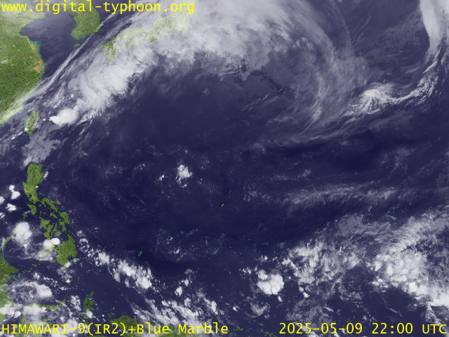
RECENT MTSAT-1R SATELLITE IMAGE:

> Image source: Digital-Typhoon.org (Nat'l. Institute of Informatics) (http://www.digital-typhoon.org )
__________________________________________________________________________________________
NOTES:

> Image source: Digital-Typhoon.
^ - JTWC commentary remarks (for Meteorologists) from their
latest warning.
latest warning.
* - Based on PAGASA's Philippine Storm Warning Signals,
# 4 being the highest. Red letters indicate new areas
being hoisted. For more explanations on these signals,
visit: http://www.typhoon2000.ph/signals.htm
** - Based on the Tropical Cyclone's Wave Height near
its center.
__________________________________________________________________________________________
>> To know the meteorological terminologies and acronyms
used on this update visit the ff:
http://typhoon2000.ph/tcterm.htm
http://www.nhc.noaa.gov/aboutgloss.shtml
http://www.srh.noaa.gov/oun/severewx/glossary.php
http://www.srh.weather.gov/fwd/glossarynation.html
http://www.nhc.noaa.gov/acronyms.shtml
__________________________________________________________________________________________
:: Typhoon2000.com (T2K) Mobile >> Powered by: Synermaxx
Receive the latest storm updates directly to your mobile phones! To know more:
Send T2K HELP to: 2800 (GLOBE & TM) | 216 (SMART & TNT) | 2288 (SUN)
Note: Globe & Smart charges P2.50 per message, while Sun at P2.00.
__________________________________________________________________________________________
For the complete details on TS SOULIK (21W)...go visit
our website @:
> http://www.typhoon2000.com
> http://www.maybagyo.com
# 4 being the highest. Red letters indicate new areas
being hoisted. For more explanations on these signals,
visit: http://www.typhoon2
** - Based on the Tropical Cyclone's Wave Height near
its center.
____________
>> To know the meteorological terminologies and acronyms
used on this update visit the ff:
http://typhoon2000.
http://www.nhc.
http://www.srh.
http://www.srh.
http://www.nhc.
____________
:: Typhoon2000.
Receive the latest storm updates directly to your mobile phones! To know more:
Send T2K HELP to: 2800 (GLOBE & TM) | 216 (SMART & TNT) | 2288 (SUN)
Note: Globe & Smart charges P2.50 per message, while Sun at P2.00.
For the complete details on TS SOULIK (21W)...go visit
our website @:
> http://www.typhoon2
> http://www.maybagyo
Change settings via the Web (Yahoo! ID required)
Change settings via email: Switch delivery to Daily Digest | Switch format to Traditional
Visit Your Group | Yahoo! Groups Terms of Use | Unsubscribe
SPONSORED LINKS
.
__,_._,___
No comments:
Post a Comment