Typhoon2000 STORM UPDATE #003
Name: TROPICAL STORM DURIAN [24W/0621]
Issued: 7:00 AM MANILA TIME (23:00 GMT) MON 27 NOVEMBER 2006
Next Update: 7:00 PM (23:00 GMT) MON 27 NOVEMBER 2006
Source: JTWC TROPICAL CYCLONE WARNING #005
_______________________________________________________________________
Next Update: 7:00 PM (23:00 GMT) MON 27 NOVEMBER 2006
Source: JTWC TROPICAL CYCLONE WARNING #005
____________
TROPICAL STORM DURIAN (24W) HAS STRENGHTENED OVERNIGHT WHILE
TRACKING WEST-NORTHWEST INTO THE PHILIPPINE SEA.
...All interests in the Samar, Bicol and Quezon Provinces
should closely monitor the progress of this potential typhoon.
The Philippine local disaster units must be on alert status
beginning today as this system might become a dange-
rous Typhoon similar to Super Typhoons ANGELA (ROSING) [Nov 3,
1995] & NINA (SISANG) [Nov 26, 1987].
+ FORECAST OUTLOOK: DURIAN is expected to continue moving
West to WNW, becoming a Typhoon within the next 24 hours. It
is likely to enter the Philippine Area of Responsibility (PAR)
early tomorrow morning, Nov 28 and will be named locally by
PAGASA as "REMING." The 3 to 5-day (Nov 30-Dec 02) Long-range
forecast shows the system growing into an extremely dangerous
Category 4 Typhoon (230 km/hr), passing over the Northern
Coasts of Catanduanes and Caramoan Peninsula in Bicol Region
by Thursday morning, Nov 30 (approx. from 8 AM to 2 PM local
time) - with a close distance of 100 km to the NE of Naga City.
This system is forecast to reach Super Typhoon strength (240
kph) prior to landfall in between Infanta, Quezon & Baler,
Aurora by early Friday morning (3 PM Dec 01) and cross Central
Luzon the whole of day of Dec 1. DURIAN shall be off the coast
of Pangasinan early Saturday morning, Dec 2.
+ EFFECTS: The storm's circulation now affecting Ulithi and
Yap Islands. Passing showers accompanied with gale-force winds
to prevail across these islands today. Improving weather condi-
tions shall be expected tomorrow as the storm moves away from
the area.
outlook, effects & current monsoon intensity, and tropical
cyclone watch changes every 06 to 12 hours!
____________
TIME/DATE: 5:00 AM MANILA TIME (21:00 GMT) 27 NOVEMBER
LOCATION OF CENTER: LATITUDE 10.7º N...LONGITUDE 139.9º E
DISTANCE 1: 610 KM (330 NM) WSW OF HAGATNA, GUAM, CNMI
DISTANCE 2: 245 KM (133 NM) NE OF COLONIA, YAP, FSM
DISTANCE 3: 1,585 KM (855 NM) ESE OF BORONGAN, E. SAMAR
DISTANCE 4: 1,845 KM (995 NM) ESE OF NAGA CITY
PEAK WIND GUSTS: 100 KM/HR (55 KTS)
SAFFIR-SIMPSON SCALE: N/A
MINIMUM CENTRAL PRESSURE (est.): 991 MILLIBARS (hPa)
RECENT MOVEMENT: WNW @ 22 KM/HR (12 KTS)
GENERAL DIRECTION: PHILIPPINE SEA
STORM'S SIZE (IN DIAMETER): 335 KM (180 NM)/SMALL/AVERAGE
MAX WAVE HEIGHT**: 22 FEET (6.7 METERS)
VIEW TRACKING MAP: 5 AM PST MON NOVEMBER 27
TSR WIND PROBABILITIES: CURRENT TO 120 HRS LEAD
PHILIPPINE STORM SIGNALS*: N/A
12, 24 & 48 HR. FORECAST:
2 PM (06 GMT) 27 NOV: 11.1N 138.0E / 100-130 KPH / W @ 24 KPH
2 AM (18 GMT) 28 NOV: 11.6N 135.5E / 120-150 KPH / W @ 24 KPH
2 AM (18 GMT) 29 NOV: 12.6N 130.0E / 185-230 KPH / WNW @ 24 KPH
REMARKS: 2 AM (18 GMT) 27 NOVEMBER POSITION: 10.6N 140.5E.
^TS Durian continues to track west-northwestward along the
periphery of a low to mid-level (850-700 mb) ridge anchored
to the north. Durian will transition to a deeper steering
layer as it intensifies, and thus will come under the in-
fluence of a 500 mb ridge currently anchored to the north-
west of the system. The 500 mb anticyclone is forecast to
build as it drifts slowly eastward during the forecast pe-
riod, and will keep Durian on a west-northwestward track
through 72 hours. Despite favorable outflow, deep convection
associated with Durian has decreased over the past 12 hours,
and has only recently begun to re-develop over the low level
circulation center in the past several hours. Convection is
forecast to continue consolidating in an environment of low
to moderate vertical wind shear and very favorable diver-
gence aloft. TS Durian is forecast to intensify at a greater
than climatological rate through through 72 hours...(more info)
>> DURIAN {pronounced: door~yan}, meaning: Favourite fruit of
Thai people (Durio zibethinus). Name contributed by: Thailand.
____________
_______________________________________________________________________
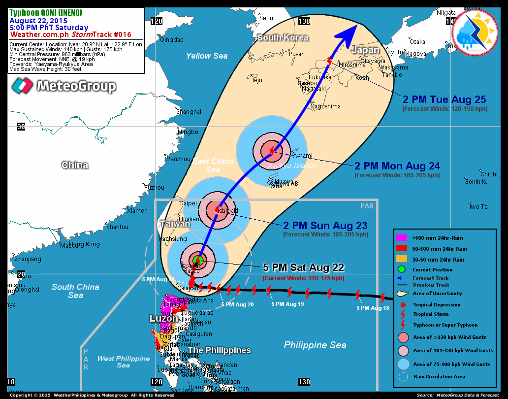
RECENT T2K TRACKING CHART:

________________________
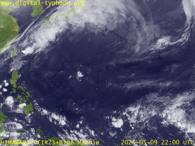
RECENT MTSAT-1R SATELLITE IMAGE:

> Image source: Digital-Typhoon.org (Nat'l. Institute of Informatics) (http://www.digital-typhoon.org )
__________________________________________________________________________________________
NOTES:

> Image source: Digital-Typhoon.
^ - JTWC commentary remarks (for Meteorologists) from their
latest warning.
latest warning.
* - Based on PAGASA's Philippine Storm Warning Signals,
# 4 being the highest. Red letters indicate new areas
being hoisted. For more explanations on these signals,
visit: http://www.typhoon2000.ph/signals.htm
** - Based on the Tropical Cyclone's Wave Height near
its center.
__________________________________________________________________________________________
>> To know the meteorological terminologies and acronyms
used on this update visit the ff:
http://typhoon2000.ph/tcterm.htm
http://www.nhc.noaa.gov/aboutgloss.shtml
http://www.srh.noaa.gov/oun/severewx/glossary.php
http://www.srh.weather.gov/fwd/glossarynation.html
http://www.nhc.noaa.gov/acronyms.shtml
__________________________________________________________________________________________
:: Typhoon2000.com (T2K) Mobile >> Powered by: Synermaxx
Receive the latest storm updates directly to your mobile phones! To know more:
Send T2K HELP to: 2800 (GLOBE & TM) | 216 (SMART & TNT) | 2288 (SUN)
Note: Globe & Smart charges P2.50 per message, while Sun at P2.00.
__________________________________________________________________________________________
For the complete details on TS DURIAN (24W)...go visit
our website @:
> http://www.typhoon2000.com
> http://www.maybagyo.com
# 4 being the highest. Red letters indicate new areas
being hoisted. For more explanations on these signals,
visit: http://www.typhoon2
** - Based on the Tropical Cyclone's Wave Height near
its center.
____________
>> To know the meteorological terminologies and acronyms
used on this update visit the ff:
http://typhoon2000.
http://www.nhc.
http://www.srh.
http://www.srh.
http://www.nhc.
____________
:: Typhoon2000.
Receive the latest storm updates directly to your mobile phones! To know more:
Send T2K HELP to: 2800 (GLOBE & TM) | 216 (SMART & TNT) | 2288 (SUN)
Note: Globe & Smart charges P2.50 per message, while Sun at P2.00.
For the complete details on TS DURIAN (24W)...go visit
our website @:
> http://www.typhoon2
> http://www.maybagyo
Change settings via the Web (Yahoo! ID required)
Change settings via email: Switch delivery to Daily Digest | Switch format to Traditional
Visit Your Group | Yahoo! Groups Terms of Use | Unsubscribe
SPONSORED LINKS
.
__,_._,___
No comments:
Post a Comment