Typhoon2000 STORM UPDATE #006
Name: TROPICAL STORM DURIAN [REMING/24W/0621]
Issued: 7:00 PM MANILA TIME (11:00 GMT) TUE 28 NOVEMBER 2006
Next Update: 7:00 AM (23:00 GMT) WED 29 NOVEMBER 2006
Source: JTWC TROPICAL CYCLONE WARNING #011
_______________________________________________________________________
Next Update: 7:00 AM (23:00 GMT) WED 29 NOVEMBER 2006
Source: JTWC TROPICAL CYCLONE WARNING #011
____________
TROPICAL STORM DURIAN (REMING) GAINED MORE STRENGTH AS IT
NEARS TYPHOON STRENGTH...CONTINUES TO MOVE FASTER, CLOSER
TO THE COASTS OF BICOL, SAMAR AND QUEZON PROVINCES .
...All interests in the Samar, Bicol, Quezon and Aurora
Provinces should closely monitor the progress of this
potential typhoon.
NEARS TYPHOON STRENGTH...CONTINUE
TO THE COASTS OF BICOL, SAMAR AND QUEZON PROVINCES
...All interests in the Samar, Bicol, Quezon and Aurora
Provinces should closely monitor the progress of this
potential typhoon.
+ FORECAST OUTLOOK: DURIAN is expected to continue moving
WNW due to the weakening of the High Pressure Ridge north
of it & to become a Typhoon tonight. The 2 to 5-day (Nov
30-Dec 03) long-range forecast remains the same showing a
more northwesterly turn, sparing the Bicol Region - pa-
ssing at distance of more or less 200 km to the NE of Ca-
tanduanes or 300 km to the NE of Naga City around Thursday
afternoon, Nov 30. This system is forecast to slow down
while reaching Category 4 strength with projected wind
speeds of 215 km/hr and shall make landfall along Eastern
Cagayan Saturday evening, Dec 02. DURIAN shall cross Ca-
gayan (passing very close to Aparri) by Sunday afternoon
Dec 03. Remember, that the 2 to 5-day forecast have a very
large margin of errors! KINDLY READ IMPORTANT NOTE BELOW.
+ EFFECTS: The storm's eastern circulation (outer bands)
has left Western Micronesia. Meanwhile, its western circu-
lation shall reach the eastern sections of Bicol, Samar
and Surigao tomorrow morning or afternoon, November 29.
outlook, effects & current monsoon intensity, and tropical
cyclone watch changes every 06 to 12 hours!
____________
TIME/DATE: 5:00 PM MANILA TIME (09:00 GMT) 28 NOVEMBER
LOCATION OF CENTER: LATITUDE 12.2º N...LONGITUDE 132.5º E
DISTANCE 1: 860 KM (465 NM) ESE OF CATARMAN, N. SAMAR
DISTANCE 2: 900 KM (485 NM) ESE OF VIRAC, CATANDUANES
DISTANCE 3: 960 KM (520 NM) ESE OF LEGAZPI CITY
DISTANCE 4: 1,020 KM (550 NM) ESE OF NAGA CITY
PEAK WIND GUSTS: 140 KM/HR (75 KTS)
SAFFIR-SIMPSON SCALE: N/A
MINIMUM CENTRAL PRESSURE (est.): 980 MILLIBARS (hPa)
RECENT MOVEMENT: WNW @ 30 KM/HR (17 KTS)
GENERAL DIRECTION: EASTERN LUZON
STORM'S SIZE (IN DIAMETER): 555 KM (300 NM)/AVERAGE/LARGE
MAX WAVE HEIGHT**: 23 FEET (7.0 METERS)
VIEW TRACKING MAP: 5 PM PST TUE NOVEMBER 28
TSR WIND PROBABILITIES: CURRENT TO 120 HRS LEAD
PHILIPPINE STORM SIGNALS*: N/A
12, 24 & 48 HR. FORECAST:
2 AM (18 GMT) 29 NOV: 12.9N 130.3E / 140-165 KPH / WNW @ 24 KPH
2 PM (06 GMT) 29 NOV: 13.8N 127.8E / 160-195 KPH / WNW @ 17 KPH
2 PM (06 GMT) 30 NOV: 15.7N 124.7E / 205-270 KPH / NW @ 05 KPH
REMARKS: 2 PM (06 GMT) 28 NOVEMBER POSITION: 11.9N 133.2E.
^THE FORECAST TRACK REASONING REMAINS CONSISTENT WITH THE
PREVIOUS DISCUSSIONS, AS THE SYSTEM SHOULD CONTINUE TOWARD
THE WEST TO WEST-NORTHWEST ON THE SOUTHERN PERIPHERY OF
DEEP-LAYER (850-400 MB) RIDGING TO THE NORTH. THIS REA-
SONING IS SUPPORTED BY THE 8AM UPPER AIR ANALYSES THAT
DEPICT AN EAST/WEST RIDGE AXIS NORTH OF THE STORM (FROM
THE NORTHERN MARIANA ISLANDS WESTWARD TO THE LUZON STRAIT).
THE DYNAMIC AIDS ARE IN VERY GOOD AGREEMENT WITH THIS SCE-
NARIO THROUGH 36 HOURS BUT DIVERGE THEREAFTER. THE NCEP GFS
IS A POLEWARD OUTLIER DEPICTING A DRAMATIC BREAK IN THE
STEERING RIDGE AND RECURVING THE STORM EAST OF LUZON. CON-
VERSELY, THE JTYM, JGSM, AND GFDN MAINTAIN A MORE EQUATOR-
WARD TRACK INTO THE SOUTH CHINA SEA. THIS FORECAST IS WEIGH-
TED TOWARD THE MORE EQUATORWARD GROUPING OF AIDS...(more info)
>> DURIAN {pronounced: door~yan}, meaning: Favourite fruit of
Thai people (Durio zibethinus). Name contributed by: Thailand.
____________
_______________________________________________________________________
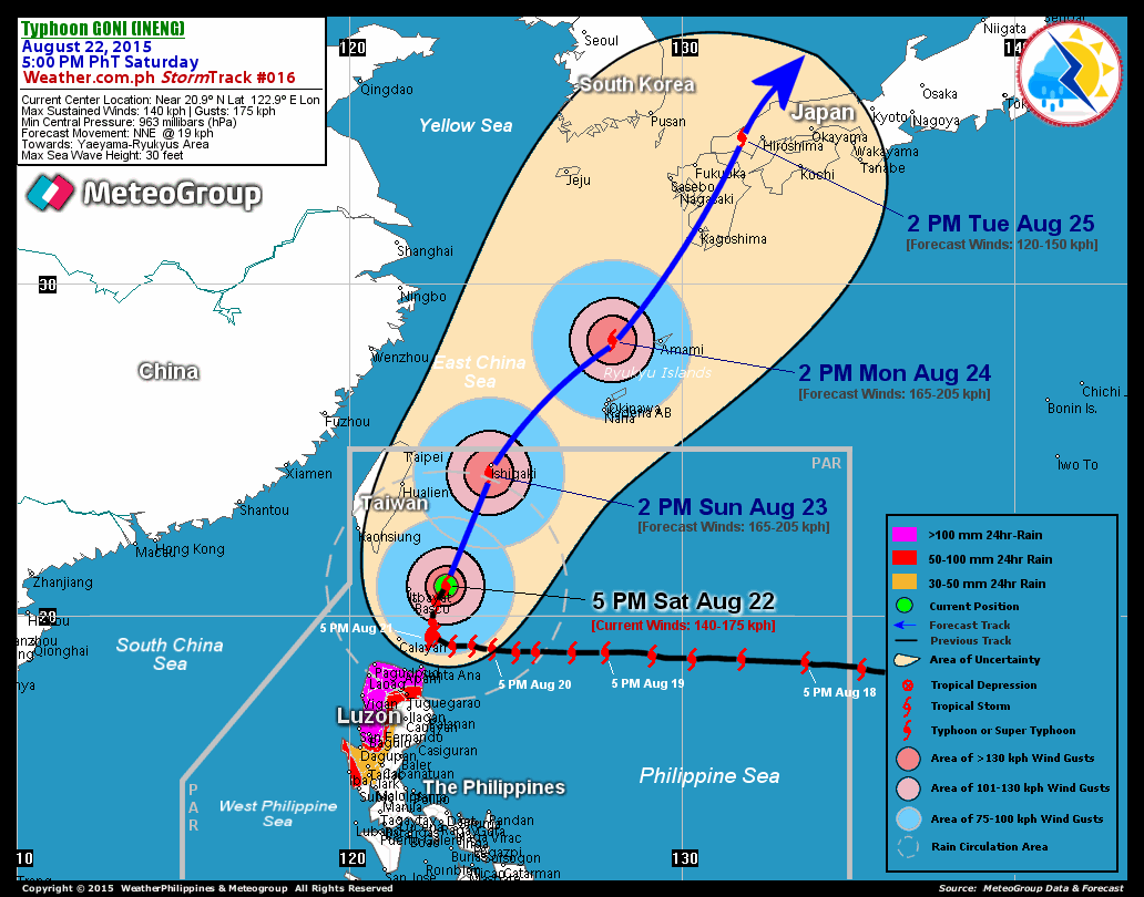
RECENT T2K TRACKING CHART:

________________________
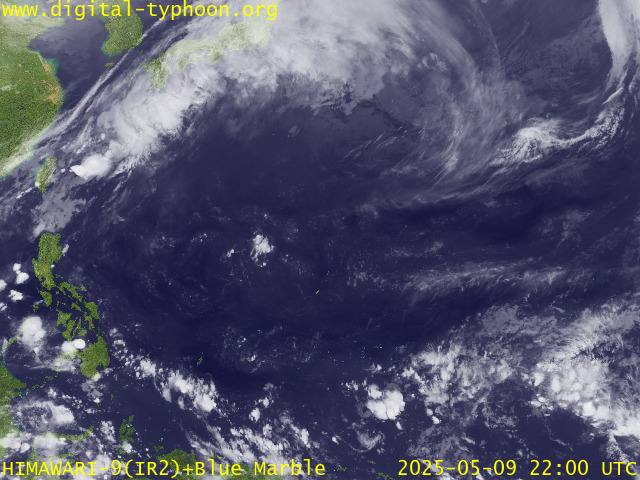
RECENT MTSAT-1R SATELLITE IMAGE:

> Image source: Digital-Typhoon.org (Nat'l. Institute of Informatics) (http://www.digital-typhoon.org )
__________________________________________________________________________________________
NOTES:

> Image source: Digital-Typhoon.
^ - JTWC commentary remarks (for Meteorologists) from their
latest warning.
latest warning.
* - Based on PAGASA's Philippine Storm Warning Signals,
# 4 being the highest. Red letters indicate new areas
being hoisted. For more explanations on these signals,
visit: http://www.typhoon2000.ph/signals.htm
** - Based on the Tropical Cyclone's Wave Height near
its center.
__________________________________________________________________________________________
>> To know the meteorological terminologies and acronyms
used on this update visit the ff:
http://typhoon2000.ph/tcterm.htm
http://www.nhc.noaa.gov/aboutgloss.shtml
http://www.srh.noaa.gov/oun/severewx/glossary.php
http://www.srh.weather.gov/fwd/glossarynation.html
http://www.nhc.noaa.gov/acronyms.shtml
__________________________________________________________________________________________
:: Typhoon2000.com (T2K) Mobile >> Powered by: Synermaxx
Receive the latest storm updates directly to your mobile phones! To know more:
Send T2K HELP to: 2800 (GLOBE & TM) | 216 (SMART & TNT) | 2288 (SUN)
Note: Globe & Smart charges P2.50 per message, while Sun at P2.00.
__________________________________________________________________________________________
For the complete details on TS DURIAN (REMING)...go visit
our website @:
> http://www.typhoon2000.com
> http://www.maybagyo.com
# 4 being the highest. Red letters indicate new areas
being hoisted. For more explanations on these signals,
visit: http://www.typhoon2
** - Based on the Tropical Cyclone's Wave Height near
its center.
____________
>> To know the meteorological terminologies and acronyms
used on this update visit the ff:
http://typhoon2000.
http://www.nhc.
http://www.srh.
http://www.srh.
http://www.nhc.
____________
:: Typhoon2000.
Receive the latest storm updates directly to your mobile phones! To know more:
Send T2K HELP to: 2800 (GLOBE & TM) | 216 (SMART & TNT) | 2288 (SUN)
Note: Globe & Smart charges P2.50 per message, while Sun at P2.00.
For the complete details on TS DURIAN (REMING)...go visit
our website @:
> http://www.typhoon2
> http://www.maybagyo
Change settings via the Web (Yahoo! ID required)
Change settings via email: Switch delivery to Daily Digest | Switch format to Traditional
Visit Your Group | Yahoo! Groups Terms of Use | Unsubscribe
SPONSORED LINKS
.
__,_._,___
No comments:
Post a Comment