Typhoon2000 STORM UPDATE #002
Name: TROPICAL STORM UTOR [SENIANG/25W/0622]
Issued: 7:00 AM MANILA TIME (23:00 GMT) FRI 08 DECEMBER 2006
Next Update: 7:00 PM (11:00 GMT) FRI 08 DECEMBER 2006
Source: JTWC TROPICAL CYCLONE WARNING #004
Next Update: 7:00 PM (11:00 GMT) FRI 08 DECEMBER 2006
Source: JTWC TROPICAL CYCLONE WARNING #004
_______________________________________________________________________
25W (SENIANG) HAS STRENGTHENED INTO A TROPICAL STORM AND
NOW INTERNATIONALLY NAMED AS UTOR...HEADING TOWARDS
SAMAR-MASBATE AREA...PRECAUTIONARY MEASURES MUST BE
IMPLEMENTED ON THE APPROACH OF THIS NEW STORM.
...All interests in the Samar, Surigao & Bicol Provinces
particularly along the slopes of Mayon Volcano should
closely monitor the progress of Tropical Storm UTOR.
NOW INTERNATIONALLY NAMED AS UTOR...HEADING TOWARDS
SAMAR-MASBATE AREA...PRECAUTIONAR
IMPLEMENTED ON THE APPROACH OF THIS NEW STORM.
...All interests in the Samar, Surigao & Bicol Provinces
particularly along the slopes of Mayon Volcano should
closely monitor the progress of Tropical Storm UTOR.
+ FORECAST OUTLOOK: UTOR is expected to continue moving
WNW for the next 24 to 48 hours and shall make landfall
over Eastern Samar or in the vicinity of Borongan Saturday
night, Dec 9 around 8 PM - reaching Typhoon strength w/
peak winds of 140-km/hr. It shall continue crossing Samar
Island passing very close to Catbalogan & Calbayog Cities
early Sunday morning (Dec 10) or in the vicinity of Samar
Sea. UTOR shall cross Masbate Island passing very close
to Masbate, Masbate or about 120 km South of Legazpi City
or 190 km SSE of Naga City around 6 to 7 AM Sunday morning
(Dec 10). The 3 to 5-day long range forecast (Dec 11 to 13)
shows UTOR passing over the Island of Calamian Group of
Islands early morning Monday (Dec 11) and moving out into
the South China Sea towards Vietnam Dec 12 and 13.
+ EFFECTS: UTOR's radial circulation remains along the Phi-
lippines with its Outer Bands expected to reach Eastern Vi-
sayas late tonight or early tomorrow morning. People living
around the slopes of Mayon Volcano in Albay especially along
the area where possible LAHAR FLOWS (mixture of volcanic
mud and water) are located - must evacuate within 24 hours
as heavy rains associated by these intensifying storm is
likely to reach the area tomorrow afternoon.
outlook, effects & current monsoon intensity, and tropical
cyclone watch changes every 06 to 12 hours!
____________
TIME/DATE: 5:00 AM MANILA TIME (21:00 GMT) 08 DECEMBER
LOCATION OF CENTER: LATITUDE 10.1º N...LONGITUDE 133.3º E
DISTANCE 1: 855 KM (460 NM) ENE OF SURIGAO CITY
DISTANCE 2: 880 KM (475 NM) ESE OF BORONGAN, E. SAMAR
DISTANCE 3: 915 KM (495 NM) ESE OF TACLOBAN CITY
DISTANCE 4: 1,100 KM (595 NM) ESE OF LEGAZPI CITY
DISTANCE 5: 1,165 KM (620 NM) ESE OF NAGA CITY
PEAK WIND GUSTS: 85 KM/HR (45 KTS)
SAFFIR-SIMPSON SCALE: N/A
MINIMUM CENTRAL PRESSURE (est.): 997 MILLIBARS (hPa)
RECENT MOVEMENT: WNW @ 15 KM/HR (08 KTS)
GENERAL DIRECTION: SAMAR-MASBATE AREA
STORM'S SIZE (IN DIAMETER): 445 KM (240 NM)/AVERAGE
MAX WAVE HEIGHT**: 15 FEET (4.5 METERS)
VIEW TRACKING MAP: 5 AM PST FRI DECEMBER 08
TSR WIND PROBABILITIES: CURRENT TO 120 HRS LEAD
PHILIPPINE STORM SIGNALS*:
#01 - SAMAR, LEYTE, SURIGAO DEL NORTE, DINAGAT & SIARGAO
ISLANDS.
12, 24 & 48 HR. FORECAST:
2 PM (06 GMT) 08 DEC: 10.5N 131.8E / 85-100 KPH / WNW @ 24 KPH
2 AM (18 GMT) 09 DEC: 11.1N 129.2E / 100-130 KPH / W @ 24 KPH
2 AM (18 GMT) 10 DEC: 11.9N 124.5E / 120-150 KPH / W @ 19 KPH
REMARKS: 2 AM (18 GMT) 08 DECEMBER POSITION: 10.0N 133.8E.
^Animated infrared satellite imagery indicates that con-
vection is slowly organizing in the vicinity of the low-
level circulation center. An SSMI/S pass indicates weak
banding on the northeastern and southwestern quadrants
of the disturbance. TD 25W continues to track westward
on the southern periphery of a strong mid-level subtro-
pical ridge (str) extending from Guam through the Luzon
straight. Due to the high zonal midlatitude pattern, no
modifications to the steering ridge are forecast through
72 hours, and thus TD 25W will continue on its westward
track...(more info)
>> UTOR {pronounced: oo-TORE}, meaning: Marshallese word
for "squall line". Name contributed by: U.S.A.
____________
PAGASA CURRENT POSITION, MOVEMENT AND INTENSITY (10-min. ave.):
> 4 AM (20 GMT) 08 DECEMBER: 10.1N 133.3E / W @ 19 KPH / 75 kph
:: For the complete PAGASA bulletin, kindly visit their website
at: http://www.pagasa.dost.gov.ph/wb/tcupdate.shtml
:: For the complete PAGASA bulletin, kindly visit their website
at: http://www.pagasa.
_______________________________________________________________________
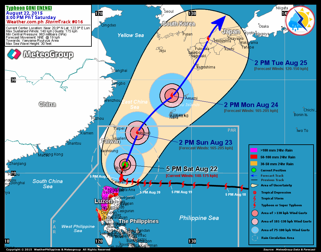
RECENT T2K TRACKING CHART:

________________________
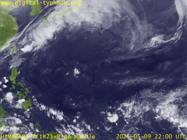
RECENT MTSAT-1R SATELLITE IMAGE:

> Image source: Digital-Typhoon.org (Nat'l. Institute of Informatics) (http://www.digital-typhoon.org )
__________________________________________________________________________________________
NOTES:

> Image source: Digital-Typhoon.
^ - JTWC commentary remarks (for Meteorologists) from their
latest warning.
latest warning.
* - Based on PAGASA's Philippine Storm Warning Signals,
# 4 being the highest. Red letters indicate new areas
being hoisted. For more explanations on these signals,
visit: http://www.typhoon2000.ph/signals.htm
** - Based on the Tropical Cyclone's Wave Height near
its center.
__________________________________________________________________________________________
>> To know the meteorological terminologies and acronyms
used on this update visit the ff:
http://typhoon2000.ph/tcterm.htm
http://www.nhc.noaa.gov/aboutgloss.shtml
http://www.srh.noaa.gov/oun/severewx/glossary.php
http://www.srh.weather.gov/fwd/glossarynation.html
http://www.nhc.noaa.gov/acronyms.shtml
__________________________________________________________________________________________
:: Typhoon2000.com (T2K) Mobile >> Powered by: Synermaxx
Receive the latest storm updates directly to your mobile phones! To know more:
Send T2K HELP to: 2800 (GLOBE & TM) | 216 (SMART & TNT) | 2288 (SUN)
Note: Globe & Smart charges P2.50 per message, while Sun at P2.00.
__________________________________________________________________________________________
For the complete details on TS UTOR (SENIANG)...go visit
our website @:
> http://www.typhoon2000.com
> http://www.maybagyo.com
# 4 being the highest. Red letters indicate new areas
being hoisted. For more explanations on these signals,
visit: http://www.typhoon2
** - Based on the Tropical Cyclone's Wave Height near
its center.
____________
>> To know the meteorological terminologies and acronyms
used on this update visit the ff:
http://typhoon2000.
http://www.nhc.
http://www.srh.
http://www.srh.
http://www.nhc.
____________
:: Typhoon2000.
Receive the latest storm updates directly to your mobile phones! To know more:
Send T2K HELP to: 2800 (GLOBE & TM) | 216 (SMART & TNT) | 2288 (SUN)
Note: Globe & Smart charges P2.50 per message, while Sun at P2.00.
For the complete details on TS UTOR (SENIANG)...
our website @:
> http://www.typhoon2
> http://www.maybagyo
Change settings via the Web (Yahoo! ID required)
Change settings via email: Switch delivery to Daily Digest | Switch format to Traditional
Visit Your Group | Yahoo! Groups Terms of Use | Unsubscribe
SPONSORED LINKS
.
__,_._,___
No comments:
Post a Comment