Typhoon2000 STORM UPDATE #001
Name: TROPICAL DEPRESSION 26W [UNNAMED]
Issued: 7:00 PM MANILA TIME (11:00 GMT) SUN 17 DECEMBER 2006
Next Update: 7:00 AM (23:00 GMT) MON 18 DECEMBER 2006
Source: JTWC TROPICAL CYCLONE WARNING #002
Next Update: 7:00 AM (23:00 GMT) MON 18 DECEMBER 2006
Source: JTWC TROPICAL CYCLONE WARNING #002
_______________________________________________________________________
NEWLY-FORMED TROPICAL DEPRESSION 26W (UNNAMED) HEADS
FOR PHILIPPINES...MAY THREATEN THE ISLAND OF LUZON
WITHIN THREE DAYS...SHALL ENTER THE PHILIPPINE
AREA OF RESPONSIBILITY (PAR) TOMORROW.
...All interests in the Luzon and Eastern Visayas
should closely monitor the progress of Tropical
AREA OF RESPONSIBILITY (PAR) TOMORROW.
...All interests in the Luzon and Eastern Visayas
should closely monitor the progress of Tropical
Depression 26W.
+ FORECAST OUTLOOK: 26W is expected to resume its fast,
WNW track with decreasing speed as it nears PAR and
intensify into a Storm. Since this is a small system,
some computer forecast models are blind in forecasting
this. The 2 to 3-day medium-range forecast shows it
turning due west, reaching Category 1 Typhoon by Wednes-
day Afternoon (Dec 20), sparing the Bicol Region on a
direct hit but a danger to Central and Northern Luzon.
Aside from the above forecast there are 2 scenarios that
can happen. Scenario 1 shows it moving West into Bicol-
Samar Area around Wednesday (Dec 20). Scenario 2 shall
move this cyclone NW into the weak part of the High
Pressure Steering Ridge and be absorbed by a passing
Cold Front (which is now moving off Japan) next week.
As of this time, these scenarios are still possible, how-
ever due to its sudden Northwesterly, the Central Luzon
landfall is most like. Please be aware that these fore-
casts changes every 6 hours. So, kindly watch out for
our succeeding advisories.
+ EFFECTS: This system is not yet affecting any Pacific
Islands.
+ CURRENT MONSOON INTENSITY: A surge of moderate to strong
Northeast Monsoon currently moving across Luzon bring clou-
dy skies with occasional rainshowers and winds of 30-60
km/hr winds becoming more frequent across Batanes, North-
eastern Luzon, Quezon, Bicol Region & Northern Samar.
Important Note: Please keep in mind that the above forecast
outlook, effects & current monsoon intensity, and tropical
cyclone watch changes every 06 to 12 hours!
____________
TIME/DATE: 5:00 PM MANILA TIME (09:00 GMT) 17 DECEMBER
LOCATION OF CENTER: LATITUDE 12.5º N...LONGITUDE 139.1º E
DISTANCE 1: 350 KM (190 NM) NNE OF COLONIA, YAP IS., FSM
DISTANCE 2: 445 KM (240 NM) EAST OF PAR
DISTANCE 3: 1,575 KM (850 NM) EAST OF CATARMAN, N.SAMAR
DISTANCE 4: 1,605 KM (865 NM) ESE OF VIRAC, CATANDUANES
DISTANCE 5: 1,670 KM (900 NM) ESE OF LEGAZPI CITY
DISTANCE 6: 1,725 KM (930 NM) ESE OF NAGA CITY
DISTANCE 5: 1,670 KM (900 NM) ESE OF LEGAZPI CITY
DISTANCE 6: 1,725 KM (930 NM) ESE OF NAGA CITY
PEAK WIND GUSTS: 75 KM/HR (40 KTS)
SAFFIR-SIMPSON SCALE: N/A
MINIMUM CENTRAL PRESSURE (est.): 1000 MILLIBARS (hPa)
RECENT MOVEMENT: NW @ 37 KM/HR (20 KTS)
GENERAL DIRECTION: LUZON, PHILIPPINES
STORM'S SIZE (IN DIAMETER): 250 KM (135 NM)/SMALL
MAX WAVE HEIGHT**: 10 FEET (3.0 METERS)
VIEW TRACKING MAP: 5 PM PST SUN DECEMBER 17
TSR WIND PROBABILITIES: CURRENT TO 72 HRS LEAD
PHILIPPINE STORM SIGNALS*: N/A
12, 24 & 48 HR. FORECAST:
2 AM (18 GMT) 18 DEC: 13.3N 136.5E / 65-85 KPH / WNW @ 28 KPH
2 PM (06 GMT) 18 DEC: 14.1N 133.6E / 85-100 KPH / W @ 26 KPH
2 PM (06 GMT) 19 DEC: 15.0N 128.1E / 120-150 KPH / W @ 22 KPH
12, 24 & 48 HR. FORECAST:
2 AM (18 GMT) 18 DEC: 13.3N 136.5E / 65-85 KPH / WNW @ 28 KPH
2 PM (06 GMT) 18 DEC: 14.1N 133.6E / 85-100 KPH / W @ 26 KPH
2 PM (06 GMT) 19 DEC: 15.0N 128.1E / 120-150 KPH / W @ 22 KPH
REMARKS: 2 PM (06 GMT) 17 DECEMBER POSITION: 12.0N 139.7E.
^ANIMATED MULTISPECTRAL SATELLITE IMAGERY SHOWS THAT THE
SYSTEM HAS MAINTAINED DEEP CONVECTION OVER THE CENTER WITH
WEAK DEEP CONVECTIVE BANDING OVER THE NORTHERN SEMI-CIRCLE.
A AMSR-E IMAGE INDICATES THAT OVERALL ORGANIZATION HAS WEA-
KENED SLIGHTLY OVER THE PAST 06 HOURS. HOWEVER, UPPER LEVEL
ANALYSIS AND ANIMATED WATER VAPOR IMAGERY DEPICT IMPROVING
OUTFLOW ALOFT AND A FAVORABLE ENVIRONMENT. POLEWARD OUTFLOW
SHOULD CONTINUE TO IMPROVE AS THE SYSTEM MOVES CLOSER TO
THE STRONG SOUTHWESTERLY MIDLATITUDE FLOW...(more info)
____________
_______________________________________________________________________
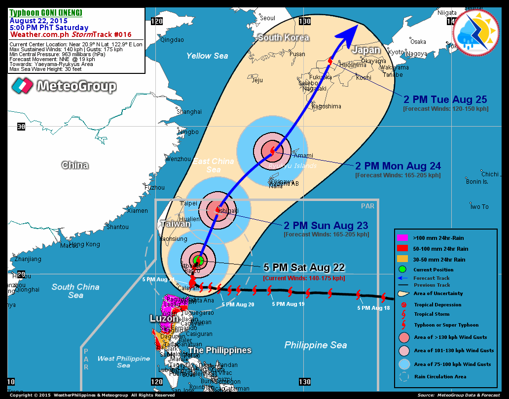
RECENT T2K TRACKING CHART:

________________________
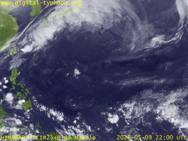
RECENT MTSAT-1R SATELLITE IMAGE:

> Image source: Digital-Typhoon.org (Nat'l. Institute of Informatics) (http://www.digital-typhoon.org )
__________________________________________________________________________________________
NOTES:

> Image source: Digital-Typhoon.
^ - JTWC commentary remarks (for Meteorologists) from their
latest warning.
latest warning.
* - Based on PAGASA's Philippine Storm Warning Signals,
# 4 being the highest. Red letters indicate new areas
being hoisted. For more explanations on these signals,
visit: http://www.typhoon2000.ph/signals.htm
** - Based on the Tropical Cyclone's Wave Height near
its center.
__________________________________________________________________________________________
>> To know the meteorological terminologies and acronyms
used on this update visit the ff:
http://typhoon2000.ph/tcterm.htm
http://www.nhc.noaa.gov/aboutgloss.shtml
http://www.srh.noaa.gov/oun/severewx/glossary.php
http://www.srh.weather.gov/fwd/glossarynation.html
http://www.nhc.noaa.gov/acronyms.shtml
__________________________________________________________________________________________
:: Typhoon2000.com (T2K) Mobile >> Powered by: Synermaxx
Receive the latest storm updates directly to your mobile phones! To know more:
Send T2K HELP to: 2800 (GLOBE & TM) | 216 (SMART & TNT) | 2288 (SUN)
Note: Globe & Smart charges P2.50 per message, while Sun at P2.00.
__________________________________________________________________________________________
For the complete details on TD 26W (UNNAMED)...go visit
our website @:
> http://www.typhoon2000.com
> http://www.maybagyo.com
# 4 being the highest. Red letters indicate new areas
being hoisted. For more explanations on these signals,
visit: http://www.typhoon2
** - Based on the Tropical Cyclone's Wave Height near
its center.
____________
>> To know the meteorological terminologies and acronyms
used on this update visit the ff:
http://typhoon2000.
http://www.nhc.
http://www.srh.
http://www.srh.
http://www.nhc.
____________
:: Typhoon2000.
Receive the latest storm updates directly to your mobile phones! To know more:
Send T2K HELP to: 2800 (GLOBE & TM) | 216 (SMART & TNT) | 2288 (SUN)
Note: Globe & Smart charges P2.50 per message, while Sun at P2.00.
For the complete details on TD 26W (UNNAMED)...
our website @:
> http://www.typhoon2
> http://www.maybagyo
Change settings via the Web (Yahoo! ID required)
Change settings via email: Switch delivery to Daily Digest | Switch format to Traditional
Visit Your Group | Yahoo! Groups Terms of Use | Unsubscribe
SPONSORED LINKS
.
__,_._,___
No comments:
Post a Comment