Typhoon2000 STORM UPDATE #01
Name: TROPICAL STORM 08W [UNNAMED]
Issued: 7:00 PM MANILA TIME (11:00 GMT) SAT 05 AUGUST 2006
Next Update: 7:00 AM (23:00 GMT) SUN 06 AUGUST 2006
Source: JTWC TROPICAL CYCLONE WARNING #003
_______________________________________________________________________
Next Update: 7:00 AM (23:00 GMT) SUN 06 AUGUST 2006
Source: JTWC TROPICAL CYCLONE WARNING #003
____________
NEWLY-FORMED TROPICAL STORM 08W (UNNAMED) ACCELERATING
RAPIDLY TOWARDS THE MARIANAS...OUTER BANDS ALREADY
AFFECTING GUAM.
RAPIDLY TOWARDS THE MARIANAS...OUTER BANDS ALREADY
AFFECTING GUAM.
+ FORECAST OUTLOOK: 08W is expected to continue inten-
sifying and shall pass in between Guam and Saipan or
over Rota Island tomorrow, Sunday morning (Aug 6) bet-
ween 8 to 9 AM HK time. The 3 to 5-day long-range fore-
cast (Aug 8-10) shows 08W becoming a 130-km/hr Category
1 Typhoon Tuesday afternoon (Aug 8) and entering the
PAR Wednesday afternoon (Aug 9). This system shall turn
more to the West due to a building High Pressure Ridge
which is expected to steer 08W.
+ EFFECTS: 08W's outer bands are now spreading across
the Marianas. These bands may bring cloudy skies with
moderate to heavy rains and gale-force winds tonight.
Residents living along the river banks, steep mountain
slopes and low-lying areas are advised to stay alert
and foresee evacuation in case of possible flashfloods
and mudslides. Hazardous ocean surf of up to 9 feet or
more possible by tonight and shall continue at hazardous
levels Sunday and Monday (Aug 6 & 7). Deteriorating wea-
ther conditions can be expected tomorrow morning as 08W
passes by.
+ CURRENT MONSOON INTENSITY: Weak Southwest Monsoon bri-
nging cloudy skies with widespread rains and isolated
thunderstorms across Western Luzon & Western Visayas,
Boracay Island, Metro Manila and Southern Tagalog
Provinces.
+ TROPICAL CYCLONE WATCH:
(1) Tropical Disturbance (LPA/91W/1005 mb) over the Nor-
thern Philippine Sea continues to move NW'ly over the
past 6 hours and was located about 1,080 km East of
Batanes (20.7N 132.4E)...with max sustained winds of
30 km/hr.
(2) Tropical Disturbance (LPA/99W/1004 mb) over the far
NW Pacific Ocean, has been analyzed as a Sub-Tropical
Cyclone and was located approx 445 km ENE of Iwo Jima
Is. (25.7N 145.6E)...moving West @ 19 kph with sus-
tained winds of 30 kph.
outlook, effects, current monsoon intensity, and tropical
cyclone watch changes every 06 to 12 hours!
TIME/DATE: 5:00 PM MANILA TIME (09:00 GMT) 05 AUGUST
LOCATION OF CENTER: LATITUDE 11.7º N...LONGITUDE 147.1º E
DISTANCE 1: 315 KM (170 NM) SE OF HAGATNA, GUAM, CNMI
DISTANCE 2: 420 KM (225 NM) SSE OF SAIPAN, CNMI
MAX SUSTAINED WINDS [1-MIN AVG]: 65 KM/HR (35 KTS)
PEAK WIND GUSTS: 85 KM/HR (45 KTS)
MINIMUM CENTRAL PRESSURE (est.): 997 MILLIBARS (hPa)
MAX WAVE HEIGHT**: 12 FEET (3.6 METERS)
SAFFIR-SIMPSON SCALE: N/A
RECENT MOVEMENT: NW @ 28 KM/HR (15 KTS)
GENERAL DIRECTION: MARIANAS
STORM'S SIZE (IN DIAMETER): 370 KM (200 NM)/AVERAGE
VIEW TRACKING MAP: 3 PM JST SAT AUGUST 05
PHILIPPINE STORM SIGNALS*: N/A
12, 24 & 48 HR. FORECAST:
> 2 AM (18 GMT) 06 AUGUST: 13.1N 146.2E / 75-95 KPH
> 2 PM (06 GMT) 06 AUGUST: 14.6N 144.8E / 95-120 KPH
> 2 PM (06 GMT) 07 AUGUST: 17.3N 141.7E / 110-140 KPH
REMARKS: 2 PM (06 GMT) 05 AUGUST POSITION: 11.2N 147.4E.
^WHILE THE OVERALL FIX CONFIDENCE IS ONLY FAIR GIVEN THE
STILL ORGANIZING CIRCULATION CENTER, THE SYSTEM HAS
ACCELERATED AS IT BEGINS TO ENTER DEEP STEERING FLOW
FROM THE SOUTH-SOUTHEAST TOWARD THE NORTH-NORTH-
WEST...(more info)
_________________________________________________________________________________
_________________________________________________________________________________
> 2 PM (06 GMT) 07 AUGUST: 17.3N 141.7E / 110-140 KPH
REMARKS: 2 PM (06 GMT) 05 AUGUST POSITION: 11.2N 147.4E.
^WHILE THE OVERALL FIX CONFIDENCE IS ONLY FAIR GIVEN THE
STILL ORGANIZING CIRCULATION CENTER, THE SYSTEM HAS
ACCELERATED AS IT BEGINS TO ENTER DEEP STEERING FLOW
FROM THE SOUTH-SOUTHEAST TOWARD THE NORTH-NORTH-
WEST...(more info)
____________
____________
LATEST WEATHER UNDERGROUND TRACKING CHART:
Track Source: The Weather Underground Tropical Page (http://www.wundergr
________________________
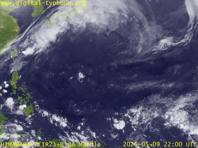
RECENT MTSAT-1R SATELLITE IMAGE:

> Image source: Digital-Typhoon.
NOTES:
^ - JTWC commentary remarks (for Meteorologists) from their
latest warning.
latest warning.
* - Based on PAGASA's Philippine Storm Warning Signals,
# 4 being the highest. Red letters indicate new areas
being hoisted. For more explanations on these signals,
visit: http://www.typhoon2000.ph/signals.htm
** - Based on the Tropical Cyclone's Sea Wave Height near
its center.
__________________________________________________________________________________________
>> To know the meteorological terminologies and acronyms
used on this update visit the ff:
http://typhoon2000.ph/tcterm.htm
http://www.nhc.noaa.gov/aboutgloss.shtml
http://www.srh..noaa.gov/oun/severewx/glossary.php
http://www.srh.weather.gov/fwd/glossarynation.html
http://www.nhc.noaa.gov/acronyms.shtml
__________________________________________________________________________________________
:: Typhoon2000.com (T2K) Mobile >> Powered by: Synermaxx
Receive the latest storm updates directly to your mobile phones! To know more:
Send T2K HELP to: 2800 (GLOBE & TM) | 216 (SMART & TNT) | 2288 (SUN)
__________________________________________________________________________________________
For the complete details on the TS 08W (UNNAMED)...go visit
our website @:
> http://www.typhoon2000.com
> http://www.maybagyo.com
# 4 being the highest. Red letters indicate new areas
being hoisted. For more explanations on these signals,
visit: http://www.typhoon2
** - Based on the Tropical Cyclone's Sea Wave Height near
its center.
____________
>> To know the meteorological terminologies and acronyms
used on this update visit the ff:
http://typhoon2000.
http://www.nhc.
http://www.srh.
http://www.srh.
http://www.nhc.
____________
:: Typhoon2000.
Receive the latest storm updates directly to your mobile phones! To know more:
Send T2K HELP to: 2800 (GLOBE & TM) | 216 (SMART & TNT) | 2288 (SUN)
____________
For the complete details on the TS 08W (UNNAMED)...
our website @:
> http://www.typhoon2
> http://www.maybagyo
You are receiving Individual Emails Change Delivery Settings
Visit Your Group | Yahoo! Groups Terms of Use | Unsubscribe
SPONSORED LINKS
.
__,_._,___
No comments:
Post a Comment